

GalleryView all (15)
About Us

- General Info
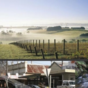
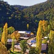
It has an area of 4,034 square kilometres and was formed in 1994 from the amalgamation of the former Buln Buln and Narracan Shires, the Rural City of Warragul (previously the Shire of Warragul), and some parts of the Shire of Upper Yarra. The northern half of the shire is heavily forested and lies in the Great Dividing Range and its foothills, including the Mt Baw Baw National Park, while the shire is bounded by the Strzelecki Range and its foothills to the south. The 'middle' part of the shire is more densely populated, particularly in areas close to the Princes Highway and the Gippsland railway line, but still retains its rural environment.
Make A Payment Agendas & Minutes Have Your Say Update Your Details Rubbish & Recycling Lost Animals Register Tenders Careers Near Me Local Directory A-Z Index West Gippsland Arts Centre Upgrade Project About Council Advocacy Capital Works Projects Council Meetings Latest News Our Councillors Our Organisation Our Shire Publications and Policies Privacy Statement ReconciliationCustomer ServiceContact Us Frequently Asked Questions Make a Payment Update Your DetailsResident InformationAnimals Emergency Information Local Laws and Permits New Residents Parks and Gardens Public Health Services Rates and Valuations Roads and Drainage Rubbish and EnvironmentBuilding and Planning Building, Renovations and Extensions Planning Planning Scheme Amendments Planning StrategiesOur CommunityAccess and Disability Aged and Seniors Children and Families Civic Events Community Health and Wellbeing Get Involved Grants and Sponsorship Groups and Committees Sporting Clubs and Recreation Facilities YouthThings to DoArts and Culture Events Leisure and Recreation Visit Baw BawBusinessBusiness Awards Business Directory Council's Business Initiatives Economic Profile and Investing Export Health and Food Requirements Your Business Workshops and Seminars
- Email Business
- Other Links
- Category